
Data
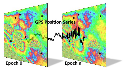 Fusing GPS time series and InSAR data captures time dependent and spatial characteristics of deformation |
QuakeSim aims to simplify data discovery, access, and usage by making data available to modelers and model applications. Data are available through the QuakeTables interface.
- Paleoseismic fault data
- Surface deformation data in the form of
- Global Positioning System (GPS) data
- Processed Interferometric Synthetic Aperture Radar (InSAR) interferograms from existing satellites and airborne UAVSAR
- Seismicity data
Media: